


Garmin GPSMAP 66 series Handheld and Satellite Communicator
Please note that 4 different products are available depending on the TOPO Mapping / InReach Technology / Multi-Band Technology options you select:
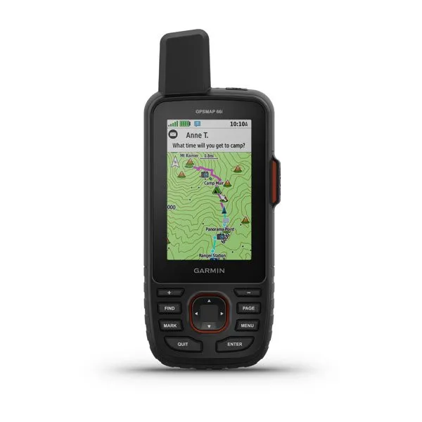
- Yes/Yes/No is the GPSMAP 66i (010-02088-01)
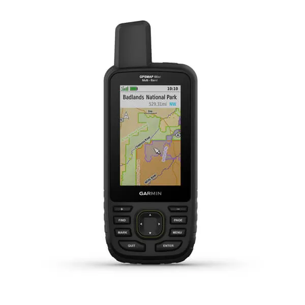
- Yes/No/Yes is the GPSMAP 66sr (010-02431-00)
- Yes/No/No is the GPSMAP 66st (010-01918-10)
- No/No/No is the GPSMAP 66s (010-01918-00)
Preloaded with TopoActive maps of the U.S. and Canada, it paints a detailed picture of the terrain ahead and gives real-time weather updates. With a battery life of 35 hours in tracking mode and 200 hours in expedition mode, you are all set for the adventure of a lifetime.
FEATURES:
MULTI-GNSS Support
ABC Sensors
Birdseye Satellite Imagery
Preloaded TOPO Maps
Wikiloc Trails
Two-Way Messaging
Interactive SOS Alerts
Location Sharing
Optional inReach weather
SPECIFICATIONS:
Display Resolution: 240 x 400 pixels
Type: Transflective Color TFT
Battery Type: Rechargeable, Lithium-ion
Water Rating: IPX7
Interface: High-Speed micro USB and NMEA0183
Memory: 16 GB
External Memory: 32 GB
Waypoints: 10000
Tracks: 250
Track Log: 20000 points, 250 saved GPX tracks, 300 saved fit activities
Routes: 250 points per route, 50 auto-routing
Compass: tilt-compensated 3-axis
Geocaching Friendly
Connectivity: Wi-Fi, Bluetooth, ANT
Dimensions: 2.5” x 6.4” x 1.4”
Weight: 8.1 oz
WHAT’S IN THE BOX:
GPSMAP 66i
Access to Birdseye Satellite Imagery
USB Cable
Carabiner Clip
Documentation
")


")


")

